Saudi Urban Intelligence Studio UrbanGPT.AISaudi Urban Intelligence Studio
Saudi Urban Intelligence Studio

UrbanGPT Studio

One home for the full suite of AI urban-design tools — from an instant site design to a full 10-stage design workflow, photoreal renders and Saudi-code land subdivision. Pick a tool to begin.

6 professional tools
01 · One-click

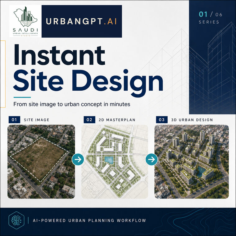
Instant Site Design

Upload a site image, set a brief, and get a presentation-quality masterplan in one click — then generate matching aerial views that keep the same design.

Open tool
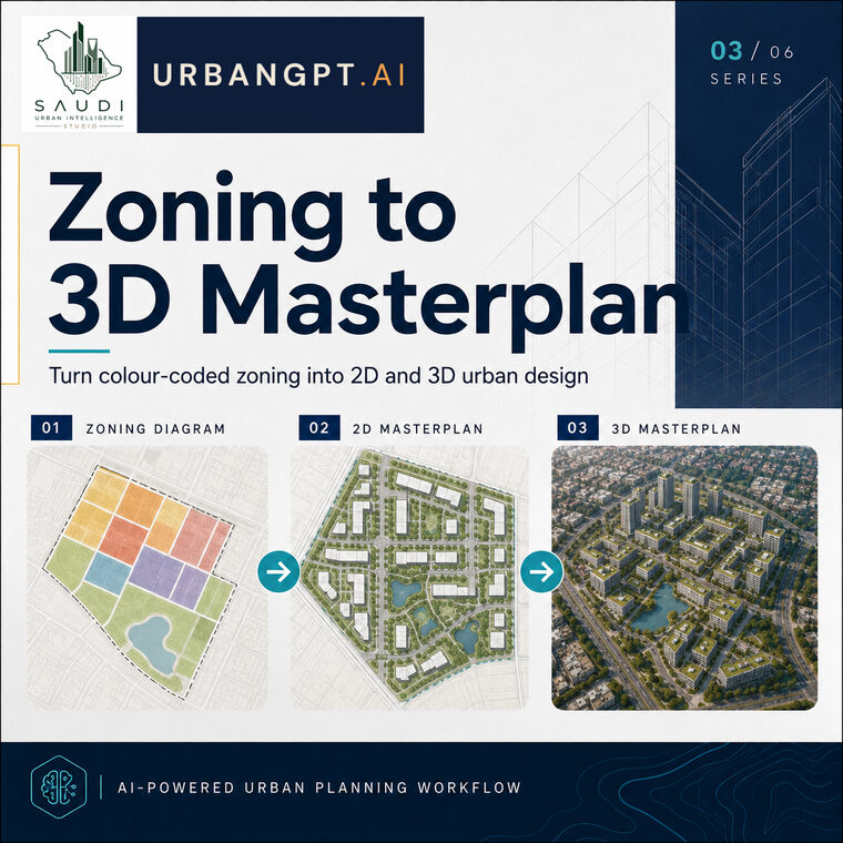
02 · Zoning → 3D

Zoning → 3D Masterplan

Turn a 2D zoning / masterplan diagram into a photoreal 3D masterplan, and generate consistent aerial views locked to the same plan geometry.

Open tool
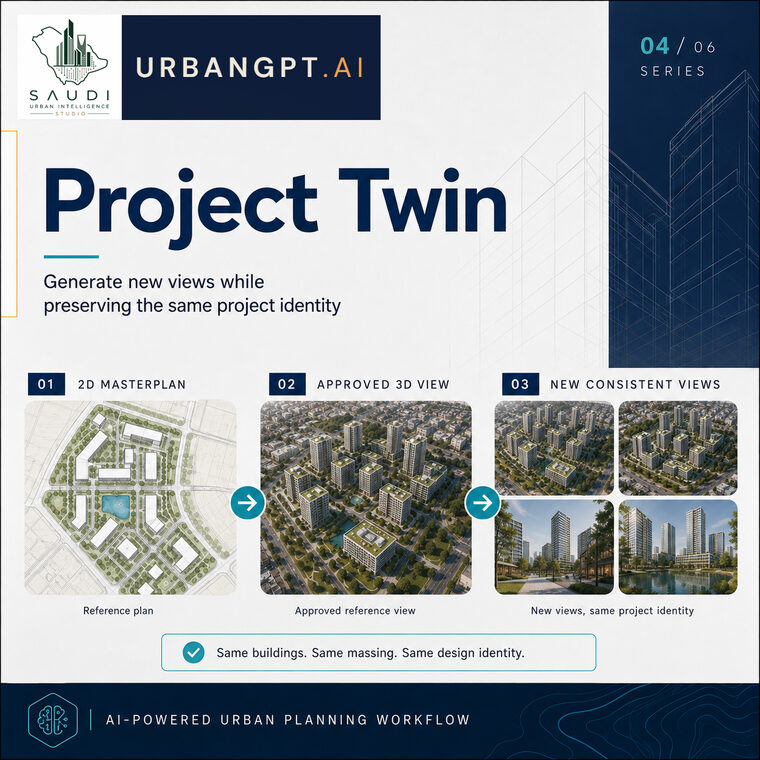
03 · Continuity

Project Twin

Generate unlimited consistent views — cameras, times, seasons, weather — of the SAME real project, with its geometry and design DNA locked across every view.

Open tool
04 · 10-stage AI

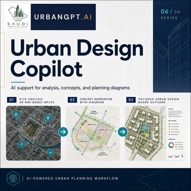
Urban Design Copilot

A senior-planner AI that runs the full 10-stage urban-design workflow — from site reading to master plan — and hands you ready-to-generate diagram boards at every stage.

Open tool
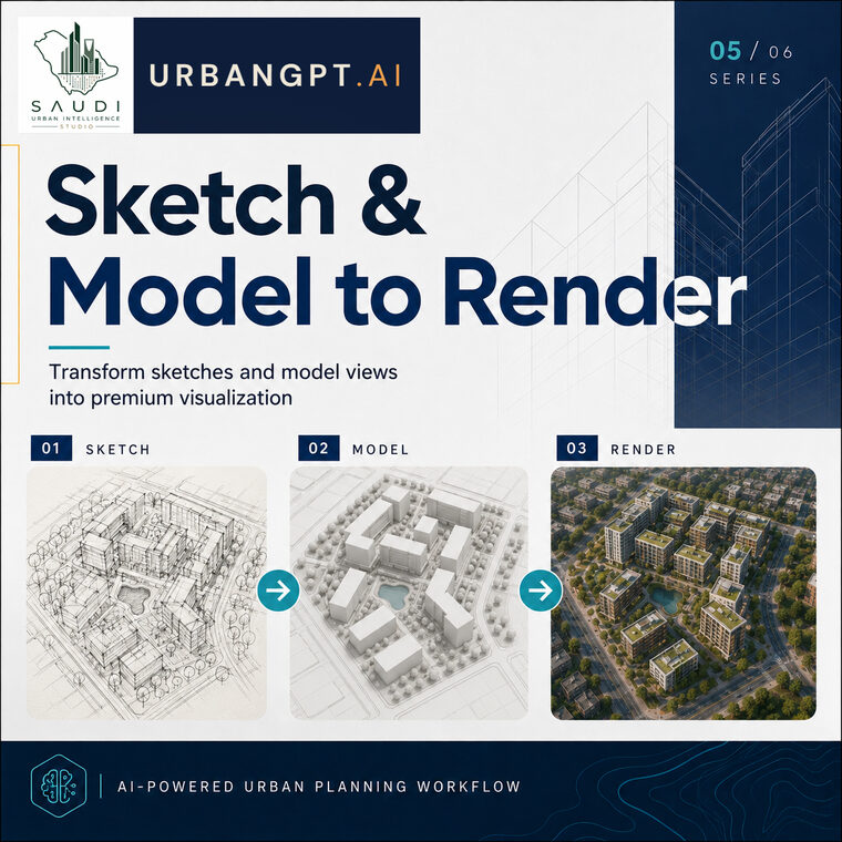
05 · Sketch → Render

Sketch & Model → Render

Turn a hand sketch, a 3D-model screenshot or a photo into a professional architectural render — with control over identity, rendering style, scene and fidelity.

Open tool
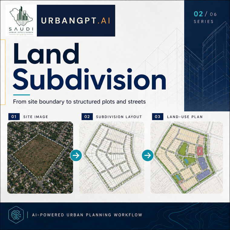
06 · 2D CAD · Saudi

Land Subdivision Plan

Turn a satellite image or land boundary into a professional 2D CAD land-subdivision master plan — plots, streets and land uses, compliant with Saudi regulations.

Open tool

Every tool builds its engineered prompts on the server; your OpenAI key, if you add one, is used only for your own requests and never stored. Outputs are conceptual/indicative and remain subject to verification by a licensed, SCE-registered engineer before any executive use.